Neighborhoods · Charlotte

How to Test a Commute Before Buying a House in Charlotte

How to test a commute before buying a house in Charlotte: why the route matters more than the minutes, and the drives to make before you write an offer.
A tree-lined Charlotte neighborhood street in morning light
The short answer

How to test a commute before buying a house in Charlotte: drive it, at the hour you would actually drive it, in the direction you would actually go. The Charlotte metro's mean commute is 27.5 minutes and the city proper's is 24.7 minutes — both close to the US average, which is why the number itself tells you almost nothing. What differs is the shape of the commute: a 22-minute drive on I-77 South, a corridor carrying roughly 160,000 vehicles a day with a crash rate around 2.8 times the state average, is a materially different daily experience from 22 minutes through neighbourhood streets, even though a listing describes them identically. Judge a commute by its variance, its merge count, its worst week and whether it has an alternative — not by its average.

Why is average commute time a bad way to choose a neighborhood?

Every relocating buyer asks the same question in the first conversation: how long is the commute? It is the right instinct and the wrong metric, and I have never once had a client say, a year in, "the average was accurate, so it is fine."

What they say instead is some version of: it is not the time, it is what it does to me. The stretch where four lanes become three. The stretch where you cannot see the brake lights coming. The morning in March when it took fifty-five minutes and there was no way off and no way around, and you arrived at work already spent.

That is commute geometry: not how far, but what shape.

What is the average commute in Charlotte?

The Charlotte-Concord-Gastonia metro area's mean travel time to work is 27.5 minutes in the most recent American Community Survey one-year data, essentially matching the national average of 27.2. The city proper is 24.7 minutes, below the national worker average of 26.4.

So Charlotte is, statistically, an unremarkable commuting city. Which is exactly why the average is useless for choosing where to live: almost every neighbourhood you are considering will produce a number in the twenties, and they are not the same twenty minutes.

What actually makes a commute hard?

  1. Variance, not the mean. A 22-minute drive that is 22 minutes every day is a routine. A 22-minute drive that is 22 on a good day and 50 on a bad one is a low-grade anxiety you carry from the moment you leave. Check the same route in a mapping app at 7:45am on a Tuesday and again at 5:30pm, then compare to the free-flow time. The spread is the number that matters.
  2. Merges and decision points. Effort is not distance; it is how many times you have to make a judgment at speed. Interstate driving in dense traffic is cognitively expensive in a way a longer surface-street route through neighbourhoods is not.
  3. Whether there is an alternative. The difference between a corridor with parallel surface routes and one without is the difference between a delay and being trapped. This is the single most underrated question in Charlotte, where the interstates carry a lot and the parallel options are uneven.
  4. The last mile at both ends. Where you park, how far you walk, whether you can drop a child on the way without doubling back. A twenty-minute drive with a ten-minute parking hunt is a thirty-minute commute that reads as twenty on a listing.

Which Charlotte highways are worst for traffic?

I-77 South carries roughly 160,000 vehicles a day between Uptown and the state line, with about six crashes a day — a rate reported at about 2.8 times the North Carolina average. Travel times on it range from ten minutes to nearly an hour depending on when and which direction. That variance is the corridor's character.

I-85 carries more traffic, in the range of 170,000 to 207,000 vehicles a day, but is generally less congested because it runs four lanes in each direction against I-77's three. More cars, more capacity, better day.

The I-485 and I-85 interchange — the Mixmaster, where six routes converge — is the region's most notorious bottleneck. NCDOT began widening and lengthening ramps in 2025, with completion targeted for 2028. If you are buying near it, you are buying several years of construction followed by a genuine improvement.

The I-77 South express lanes are unresolved. In May 2026 the regional planning organisation rescinded its support for the public-private partnership funding structure, and NCDOT is now pursuing a $3.2 billion elevated express-lanes design with construction not expected before 2030. Treat any relief on that corridor as a decade-out proposition, not a near-term fix.

Is Charlotte's light rail expanding?

Honest answer: for most Charlotte buyers in 2026, transit is a bonus rather than a plan, and the timelines have moved.

  1. The LYNX Blue Line is the one operational light-rail spine, running from south Charlotte through Uptown to University City. If you live within a genuine walk of a station, it is a real option and it changes the calculus.
  2. The Silver Line, planned for the eastern suburbs, has shifted from light rail toward bus rapid transit for budget reasons, with a tentative opening around 2037.
  3. The Red Line north toward the Lake Norman towns: the city finalised the purchase of about 22 miles of rail corridor from Norfolk Southern for $74 million in 2024, with a tentative opening around 2035. It is a purchased corridor in planning, not under construction.

If a listing or an agent implies rail is coming to a neighbourhood soon, ask which line and which year, and then check that year against the ones above.
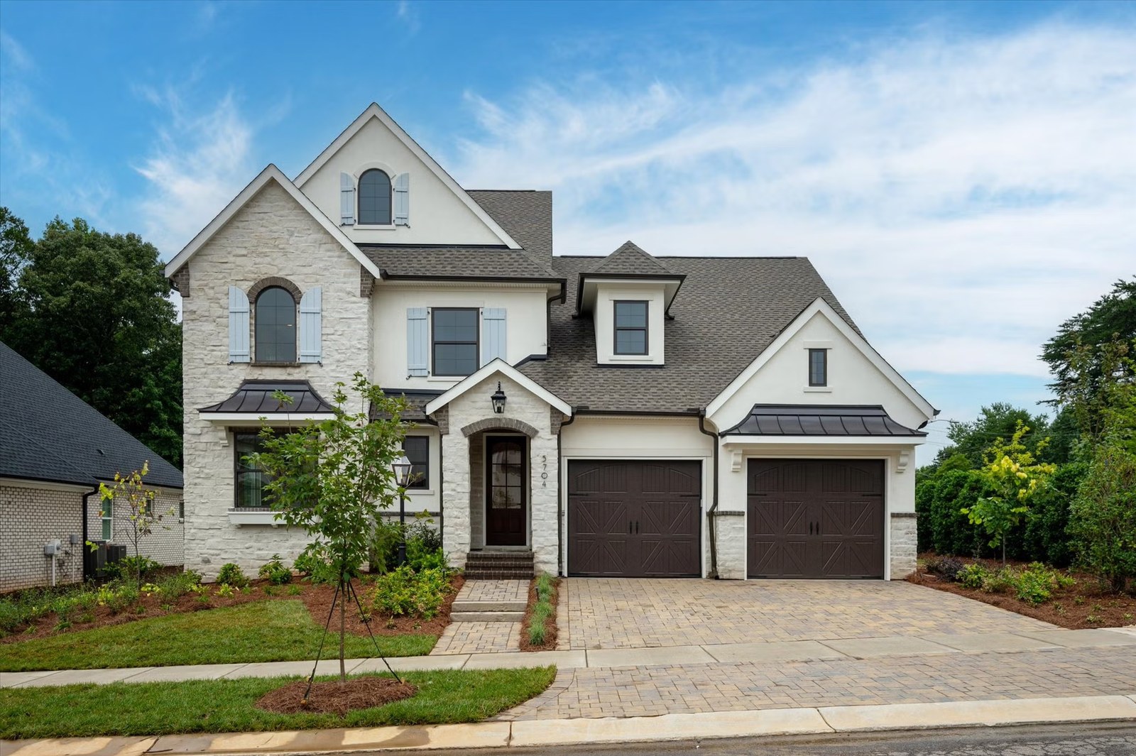

A pale stone and siding Carolina home with dark shutters, facing the street
Not how far. What shape.

How walkable is Charlotte?

Charlotte's overall Walk Score is 26, which the index classifies as car-dependent and ranks 49th among large US cities. That is the city-wide figure, and it hides enormous variation:

| Neighbourhood | Walk Score | |—-|—-| | Fourth Ward (Uptown) | 89 | | First Ward (Uptown) | 85 | | Second Ward (Uptown) | 84 | | Dilworth | 78 | | South End | 74 | | Plaza Midwood | 56 | | Myers Park | 43 | | Ballantyne East | 30 | | Ballantyne West | 29 |

The relevant insight is not that higher is better. It is that Charlotte contains genuinely walkable neighbourhoods and genuinely car-dependent ones inside the same city limits and often inside the same price band, and that most buyers pick one without realising they were choosing.

There is a third option people forget: not walkable to shops, but walkable at all. The county's greenway network runs to roughly 84 miles of trail, and the Cross Charlotte Trail — a planned 30-plus-mile spine — had about 17.4 miles under construction and nearly 10 more in design as of late 2025. A house near a greenway access point can give you the daily walk without the urban Walk Score.

How I actually test a commute with clients

Before we tour anything, we drive the commute. Not the route in the app — the actual commute, at the actual hour, from the actual house to the actual office, in the actual direction. It takes a morning and it eliminates more houses than any other single thing I do.

Then I ask one question that tends to end the debate: if this drive were fifteen minutes longer, would you still want the house? If yes, the commute is not the deciding factor and we should stop optimising for it. If the answer is a fast no, the commute is the deciding factor and we should be choosing the neighbourhood before the house.

One of my relocating clients said afterward that we "didn't even have to look at many houses." Driving the commute first is a large part of why.

What does a bad commute cost you over five years?

Say the commute is 22 minutes with a bad spread — good days fine, bad days brutal, no alternative route. Nothing catastrophic happens. You adapt. You leave earlier. You stop scheduling anything before nine. You become someone who checks traffic before deciding whether to have breakfast with your family.

Over five years that is roughly a thousand round trips, and the ones that cost you are not the average ones. It is entirely reasonable to decide the house is worth it — some are. But if you are going to pay that, pay it knowingly, and price the house accordingly, because the next buyer will be doing the same maths.

Drive it before you decide. At 7:45. In the rain if you can manage it.

What does a commute actually cost you over a year?

Here is the arithmetic nobody runs before they buy, and it is the most persuasive number in this whole conversation because you can check it yourself in ten seconds.

A thirty-minute drive each way is an hour a day. Across roughly 250 working days, that is about 250 hours a year — six full working weeks, spent in a car. Move to forty-five minutes each way and you are at roughly 375 hours. At an hour each way, 500. The difference between a twenty-minute commute and a forty-five-minute one is not twenty-five minutes; it is about 200 hours a year, every year, for as long as you live in that house.

And the hours are the smaller half. The larger half is which hours. A commute takes the two segments of the day that decide the shape of a household — the hour before work and the hour after — which are the same hours as breakfast together, school pickup, a run, dinner that is not reheated. People rarely regret a commute in the abstract. They regret it specifically, at 6:40pm, in traffic, on the phone saying start without me.

So run the number for the two houses you are choosing between and put it beside the price difference. Sometimes the longer commute buys enough house to be worth 200 hours a year, and that is a legitimate trade made with open eyes. Sometimes it buys a bonus room you will use twice a month. The arithmetic does not decide for you — it just makes sure you are the one deciding, rather than finding out in month eight.

Sources

  1. US Census Bureau, American Community Survey 2024 1-year estimates, mean travel time to work (via Census Reporter / Data USA)
  2. WFAE and WSOC reporting on I-77 South express lanes and the NCDOT elevated design, 2026
  3. QC News reporting on the I-485 / I-85 interchange reconstruction
  4. Walk Score, Charlotte NC neighbourhood scores — walkscore.com/NC/Charlotte
  5. Spectrum News and public records on the LYNX Red Line corridor purchase; LYNX Silver Line planning status
  6. Mecklenburg County Park & Recreation greenway mileage; City of Charlotte Cross Charlotte Trail project page

Described generally and current as of publication; figures and programs change. Eridania M. Bonilla is a licensed North Carolina broker (NC 359549) with Better Homes and Gardens Real Estate Paracle; each office is independently owned and operated. Equal Housing Opportunity. Not lending, tax or legal advice.

Sixty seconds, no pressure

Which territory are you in?

The Move Quiz maps where you actually are — timeline, budget band, and what you are solving for — in about a minute.

Take the Move Quiz →

Frequently asked

What is the average commute time in Charlotte NC?

The Charlotte-Concord-Gastonia metro mean travel time to work is 27.5 minutes, close to the national average of 27.2, and the city proper is 24.7 minutes. Because nearly every neighbourhood lands in the twenties, the average is a poor basis for choosing where to live.

Which Charlotte neighborhoods are the most walkable?

Uptown's Fourth, First and Second Wards score 89, 85 and 84 on Walk Score, followed by Dilworth at 78 and South End at 74. Plaza Midwood is 56, Myers Park 43 and the Ballantyne areas around 30, against a city-wide score of 26.

Is light rail expanding in Charlotte?

Not soon. The Blue Line is the only operational light-rail line. The Silver Line has shifted toward bus rapid transit with a tentative 2037 opening, and the Red Line corridor was purchased from Norfolk Southern for $74 million in 2024 with a tentative 2035 opening — it is in planning, not under construction.

Is I-77 or I-85 worse for traffic in Charlotte?

I-85 carries more vehicles, roughly 170,000 to 207,000 a day, but is generally less congested because it runs four lanes each way. I-77 South carries about 160,000 a day across three lanes and has a reported crash rate around 2.8 times the state average, making it the more variable of the two.

How should I evaluate a commute before buying?

Drive the real route from the real address at the real hour in the real direction, and compare it to the free-flow time to see the spread. Then ask whether you would still want the house if the drive were fifteen minutes longer — the answer tells you whether you should be choosing the neighbourhood before the house.

How many hours a year is a 30-minute commute?

About 250 hours — an hour a day across roughly 250 working days, which is six full working weeks in a car. Forty-five minutes each way is around 375 hours, and an hour each way is about 500. The gap between a twenty-minute and a forty-five-minute commute is roughly 200 hours a year, every year you live in that house.

A sage arched Charlotte hallway with a console table and a sparse plaster branch
Drive it before you decide. At 7:45. In the rain if you can.
Eridania M. Bonilla, REALTOR®
Your guide
Eridania M. Bonilla
REALTOR® · Better Homes and Gardens Real Estate Paracle

I help Charlotte families buy, move up, and relocate without losing their footing — treating the whole thing as one calm decision instead of a pressured scramble. Twenty-five years in brand and design before real estate taught me that how a place feels is the whole point.

Atención completa en español — escríbeme con confianza.

The quiet letter

One thoughtful note a month

Neighborhood reads, market truth, and the occasional exhale. No noise — unsubscribe anytime.