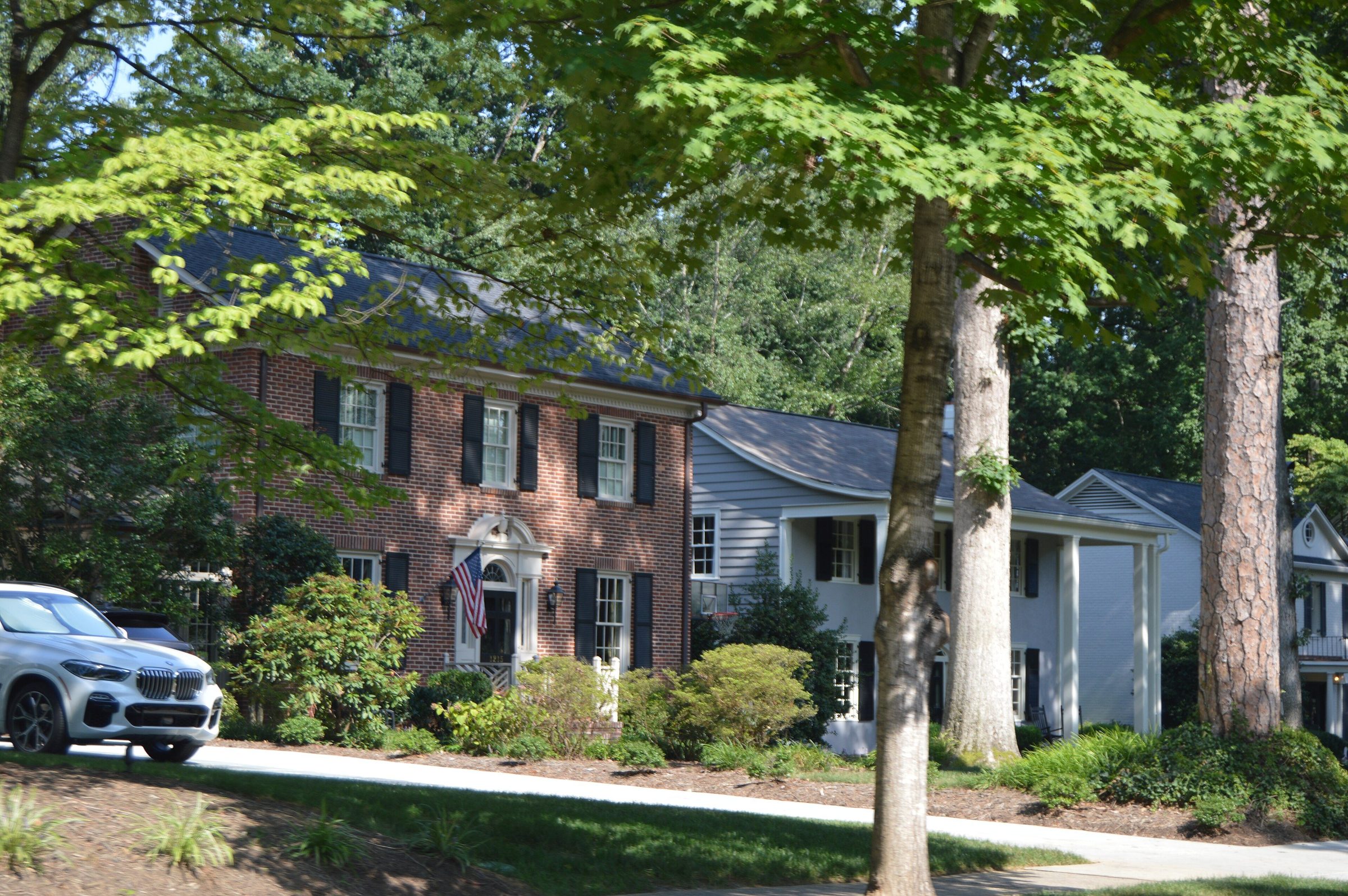
Brick and white colonial homes under tall trees on Biltmore Drive in Pharrsdale, Charlotte
Biltmore Drive, Pharrsdale, Charlotte · public domain
Haus of Sanctuary  ·  Moving to Charlotte  ·  Check it yourself

Check it yourself, by address.Schools, safety data, flood, the parcel and the deed: the official lookup for every address in the six areas.

I don't rate schools or call a street safe. The agencies keep the record, and each one publishes it for the exact address. Pick the place, and here is every lookup, with how to read it.

By Eridania M. Bonilla, NC Broker · Better Homes and Gardens Real Estate Paracle · links checked 31 Oct 2026


4
school districts
each assigns by address, and each redraws its lines
10
police and sheriff's offices
across the six areas; the town on a listing is not always the agency
3
counties, three deed offices
Mecklenburg, Union, Iredell
2
flood maps to compare
FEMA's and North Carolina's own

Counted from the official lookups on this page, 31 Oct 2026.

Eridania M. Bonilla, NC Broker, in a white dress with a gold belt, seated in a cream armchair
Eridania M. BonillaNC Broker, REALTOR®
The short answer

Look up the exact address on the agency's own tool, never a neighborhood name or a ZIP code's reputation online. School lines, police jurisdictions and town limits all cut through neighborhoods.

Five checks cover it: the assigned schools, the agency's incident data, the flood zone, the parcel and its zoning, and the deed with any recorded covenants. Then drive the commute at the hour you'll drive it. Write down what each one said, and the date.

Every lookup below is the agency's own. Links checked 31 Oct 2026.

The lookups

Pick the place. Get every lookup.

Choose the area, then the town the address is in. The cards change to that place's own agencies.

With an address in, each button copies it before it opens the lookup, so you can paste it straight in.

Before you write an offer

Eight checks. Tick them off.

For the address you are serious about. Your ticks stay on this device.

Or write to eri@hausofsanctuary.com

Eridania M. Bonilla, NC Broker, in a blush dress in an entry hall with white flowers
Your broker
My summary is never the source. The agency's record is, and I'll run every lookup with you, line by line.
Eridania M. Bonilla, NC Broker, REALTOR®Better Homes and Gardens Real Estate Paracle · 25 years in brand and marketing, eight of them in New York commercial real estate · Charlotte, four years

Begin with your answer.

The quiz finds your part of Charlotte first. Your match shows free; your email only keeps the rest coming.

Questions

The questions people type.

How do I find out which schools a Charlotte-area address is assigned to?

Use the district's own lookup for the exact address: Charlotte-Mecklenburg Schools' Find My School for Mecklenburg County, Union County Public Schools' Zone Lookup for Waxhaw, Marvin and Weddington, and, around Mooresville, both the Mooresville Graded School District and Iredell-Statesville Schools, because the district line does not follow the town limits. Districts redraw lines, so confirm the assignment for the year you will enroll.

Where can I see crime data for a specific address?

On the map or data published by the agency that answers calls at that address. Inside the City of Charlotte that is CMPD's CrimeMapper and the city's open-data portal; in the towns it is the town police (Matthews, Mint Hill, Huntersville, Cornelius, Davidson, Waxhaw, Mooresville); outside a town it is the county sheriff. Check the jurisdiction on the county parcel tool first. The NC SBI and the FBI publish agency-level totals, not street-level data.

How do I check if a house is in a flood zone in North Carolina?

Search the address on FEMA's Flood Map Service Center and on North Carolina's Flood Risk Information System (FRIS). Note the zone and the map's effective date, keep both screens, and ask your insurance agent for a quote with the zone in hand before you write an offer.

How do I find out whether a house has an HOA or recorded covenants?

Pull the deed from the county Register of Deeds (Mecklenburg, Union or Iredell) and open any declaration of covenants it references. Then ask for the HOA's current rules, dues and what the dues cover; the recorded declaration and the current rules can differ.

Why don't you tell me which areas are safe or have the best schools?

Because the record belongs to the agencies, not to me, and fair housing practice is to describe homes and places and point you to the official source. I will run every lookup on this page with you for the address you are considering, line by line.

Every lookup on this page, and when it was checked
  1. Charlotte-Mecklenburg Schools, Find My School. Opened 31 Oct 2026.
  2. Union County Public Schools, Zone Lookup. Opened 31 Oct 2026.
  3. Mooresville Graded School District, Zoning · Find My School. Opened 31 Oct 2026.
  4. Iredell-Statesville Schools, School Attendance Zones. Opened 31 Oct 2026.
  5. Charlotte-Mecklenburg Police: CrimeMapper, CMPD CrimeMapper. Opened 31 Oct 2026.
  6. City of Charlotte Open Data, Open Data Portal. Opened 31 Oct 2026.
  7. Matthews Police, Crime map and alerts. Opened 19 Oct 2026; the town’s site screens automated checks, so open it in your browser.
  8. Mint Hill Police, Crime reports. Opened 31 Oct 2026.
  9. Huntersville Police, Department page · Crime Map. Opened 19 Oct 2026; the town’s site screens automated checks, so open it in your browser.
  10. Cornelius Police, Community Crime Map. Opened 31 Oct 2026.
  11. Davidson Police, Police Statistical Data. Opened 31 Oct 2026.
  12. Waxhaw Police and Union County Sheriff, Waxhaw crime mapping. Opened 19 Oct 2026; the town’s site screens automated checks, so open it in your browser.
  13. Mooresville Police, Department page · Crime Map. Opened 31 Oct 2026.
  14. Iredell County Sheriff’s Office, Sheriff’s Office. Opened 31 Oct 2026.
  15. NC State Bureau of Investigation, Crime statistics. Opened 31 Oct 2026.
  16. FBI Crime Data Explorer, Crime Data Explorer. Opened 31 Oct 2026.
  17. FEMA Flood Map Service Center, Search by address. Opened 31 Oct 2026.
  18. NC Flood Risk Information System, NC FRIS. Opened 31 Oct 2026.
  19. Mecklenburg County POLARIS, POLARIS parcel lookup. Opened 31 Oct 2026.
  20. Union County UC Atlas, UC Atlas. Opened 31 Oct 2026.
  21. Iredell County MapGeo, Iredell MapGeo. Opened 31 Oct 2026.
  22. Mecklenburg County Register of Deeds, Search real estate records. Opened 31 Oct 2026.
  23. Union County Register of Deeds, Register of Deeds. The county’s site screens automated checks; it could not be opened by our link checker on 31 Oct 2026. Open it in your browser.
  24. Iredell County Register of Deeds, Online land records. Opened 31 Oct 2026.
  25. Google Maps directions, a commercial map, for the drive. Opened 31 Oct 2026.
  26. Iredell County GIS FAQ: county parcel maps are not legal evidence of a boundary; only a licensed surveyor sets one; the public GIS site is refreshed twice a month (iredellcountync.gov). Read 31 Oct 2026.
  27. Photographs: Biltmore Drive, Pharrsdale, Charlotte, public domain, via Wikimedia Commons, resized. Interiors are styled sets, not listings.
The right part of Charlotte is the one where your ordinary Tuesday gets better.